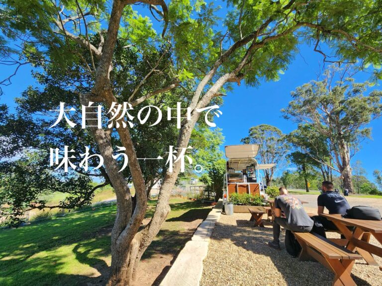
週末ドライブにおすすめ!シドニー郊外シルバーデールで味わう『Horse & Harpy』の特別なコーヒー
「こんな大自然の中で、淹れたてのおいしい […]
ウォロンディリー川にちなんで名付けられたウォロンディリー・シャイア (Wollondilly Shire) は、グレーターシドニーの南西端に位置する、シドニーへ97%の水を供給している集水域です。いくつかの町や村はありますが、大部分はファームや国立公園、ダムが占め、西側に Nattai Wilderness や Burragorang Valley などがあります。1905年のローカルガバメント法により成立したシャイアで、1940年に Municipality of Picton と合併しました。
「こんな大自然の中で、淹れたてのおいしい […]
シドニー中心部から南西へ70km、広々と […]
This website would like to acknowledge Gadigal peoples of the Eora nations, Aboriginal and Torres Strait Islander people, the traditional custodians of this land and pay our respects to Elders both past and present.このウェブサイトは伝統的な土地の所有者であるエオラ、ガディガルの人々を含むアボリジナルおよびトレス海峡諸島の人々、そして過去と現在の長老に敬意を表します。